
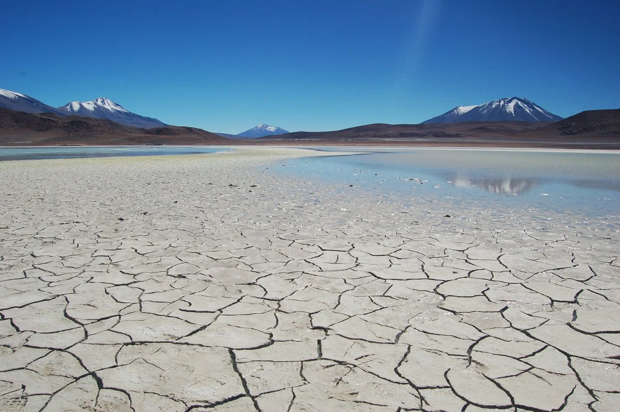
Images of western snowfall in the last week belie the truth. Tragic avalanche deaths and ski areas closed by too much snow can be deceiving. While areas near Tahoe have been pummeled by up to 120 inches of snow so far in February, the Colorado River basin is a far different story.
Latest snow level and water content reporting is not for the weak a heart. Colorado ski resorts received a boost this week with new snow but it did nothing to solve the multi-decade drought that has dried the seven states in the Colorado River basin.
Colorado is averaging 60% of normal with many subbasins averaging only 36-40% of normal. Arizona, New Mexico and Utah are worse. Some subbasins are as little as 2% of normal. Two percent is a daunting statistic. The NOAA long range forecast through May is for higher than normal temperatures and lower than normal precipitation across the Colorado River basin. In Colorado, there’s virtually nothing on the horizon in the next three weeks, which brings us into March. February and March are Colorado’s snowiest months, when Mother Nature is supposed to fill the natural reservoir known as the snowpack.
This foretells a high fire risk and troubling time for agriculture and municipal water suppliers. The two major regulating reservoirs on the Colorado tell the story.
LAKE POWELL:
Full elevation = 3,700’
Current elevation = 3,532’
Projected 12/31/26 = 3,513’
Power Pool elevation = 3,490’ (elevation at which hydropower is diminished)
Dead Pool elevation = 3,370’
LAKE MEAD:
Full elevation = 1,229’
Tier 1 Reductions= 1,075’ (primarily affecting AZ and NV)
Current elevation = 1,065’
Projected 12/31/26 = 1,054’
Tier 2 Reductions= 1,050’ (primarily affecting AZ)
Tier 2b Reductions= 1,045 (primarily affecting AZ)
Power Pool elevation = 1,035’ (elevation at which hydropower is diminished)
Dead Pool elevation = 895’
Climate change is felt first in the water sphere. Its effects are dramatic: Increased demand due to longer growing and air-conditioning seasons, higher evaporation rates, drying of the subsoil and depletion of groundwater tables (think of a dry sponge, it takes water to fill the voids in that sponge before water flows away, in this case to the rivers). Projections are that climate change will decrease water content in the Colorado River by as much as 30% by 2050.
Hard questions are being asked. Can Arizona continue agricultural water use? Increasingly it doesn’t look like it. Central Arizona Project (CAP) reductions have cut agricultural water and cities have targeted ag water for their futures. Utah has reached its allocation under the Upper Basin Colorado River Compact and Colorado is not far behind.
Given the changing hydrograph and new demands placed on the system, it’s a fascinating time to be in the water field. Solutions exist. Some easy, some hard. Dramatic progress has been made in municipal water use reductions (the US uses about the same amount of water today for municipal use as it did in 1970, despite a 40% increase in population). But two large questions loom: Where and how will we supply water for food production? How will we supply electricity for our digital future?
Stay tuned and we’ll discuss these.